


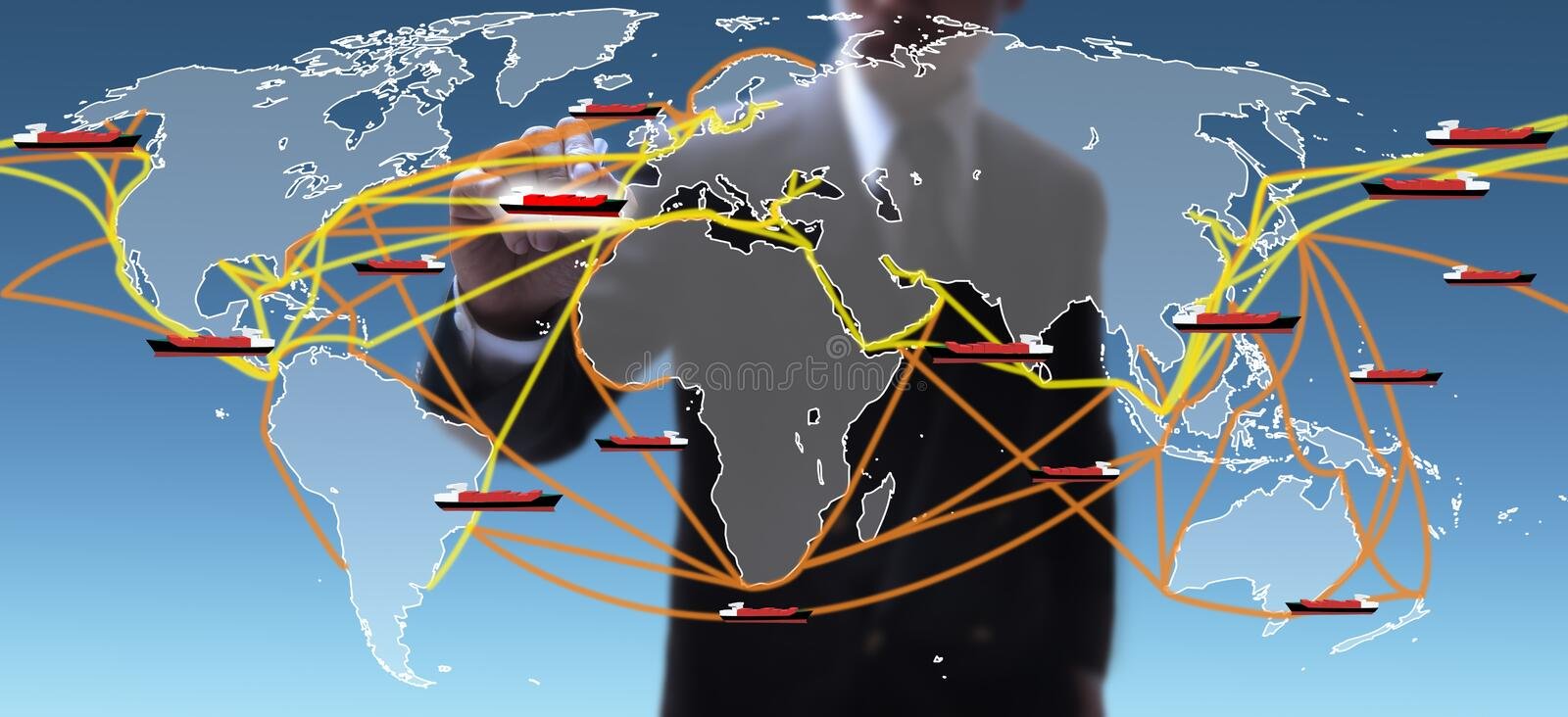
The COVID-19 pandemic that has thrown economies into disruption has also led to an overall reduction in maritime cargo movement globally. It has highlighted the need for the shortening of global supply chains to mitigate the impact of catastrophes in the future, according to UNCTAD. Also, there is more focus on planning maritime routes that allow cargo ships to deliver goods faster and more economically while checking their emissions for a lower impact on the planet. The best routes for ships allow the vessels to travel safely and at high speed while consuming as little fuel as possible.
Factors Involved In Shipping Route Planning
In addition to the type and size of the vessel, global weather forecasts that can change dramatically for the voyage play an important role. For example, a Panamax bulk carrier is controlled quite differently from a Handymax. It is also necessary to factor in the cargo type as well as the loading conditions and the size of the cargo (40ft or 20ft shipping container). A cargo comprising sensitive or perishable items will need to be transported using a less aggressive route than what can be used for coal or other bulk cargo.
Obviously, a maritime route planner will also need to take into account the ports of departure and destination as well as the voyage time. Some of the biggest concerns for companies dealing with ocean freight logistics are the cost of various inputs like fuel, time charter, bunker, and turnaround speed. Since each of the factors can vary, the route analyst will usually provide three options to the ship’s captain before the commencement of the journey. Typically, they are
- The most direct route, which, however, does not take into account the weather or safety.
- A route factoring in expected severe conditions that may cause an arrival delay and also involve more fuel consumption.
- A route that permits the ship to conserve fuel due to fair weather by sailing slowly but is likely to delay the vessel.
All three options are logged into the company’s computer systems, which then keep updating the ship’s captain as the vessel progresses on its selected route.
Shipping Route Optimizing Tools
Technological advancements have made it much easier for shipping companies to optimize marine routes. A host of new tools and technologies can now help ships to traverse the distance from their port of origin to their destination quickly, safely, and by incurring the least possible fuel and opportunity cost. Many times problem occurs in tracking the shipment, one of the more popular route optimization tools is Wayfinder by Sofar Ocean, its provide all the necessary information like how to track a container and it collects information from a large network of ocean weather sensors and assimilates it into a weather model capable of generating wave and swell forecasts that have been estimated to be 20-50% more accurate than ECMWF and NOAA. In addition to the weather, the technology can factor in many more variables like bunker prices, demurrage, contract terms, CO₂ targets, and more.
Conclusion
There are many more such tools available to logistic and shipping companies for planning and optimizing ship routes in great detail. These act to yield shipping routes that are quicker, safer, more economical, and reduce greenhouse emissions.